
01 / Land sales
Sell the land,
not just the listing sheet.
Marketing for farmland, ranches, timber and hunting land, vineyards and acreages. We plan what buyers need to see, design the maps and graphics that explain it, and produce the video, tours and photos to show it. We can handle the full marketing project or create the specific media your team needs.
Already have footage? Request an edit
Approach
Start with what a buyer needs to see.
Before anything is filmed or edited, we plan the story the property has to tell: the facts a buyer needs, and the feeling that makes them want to see it in person.
- 01
Boundaries and acreage
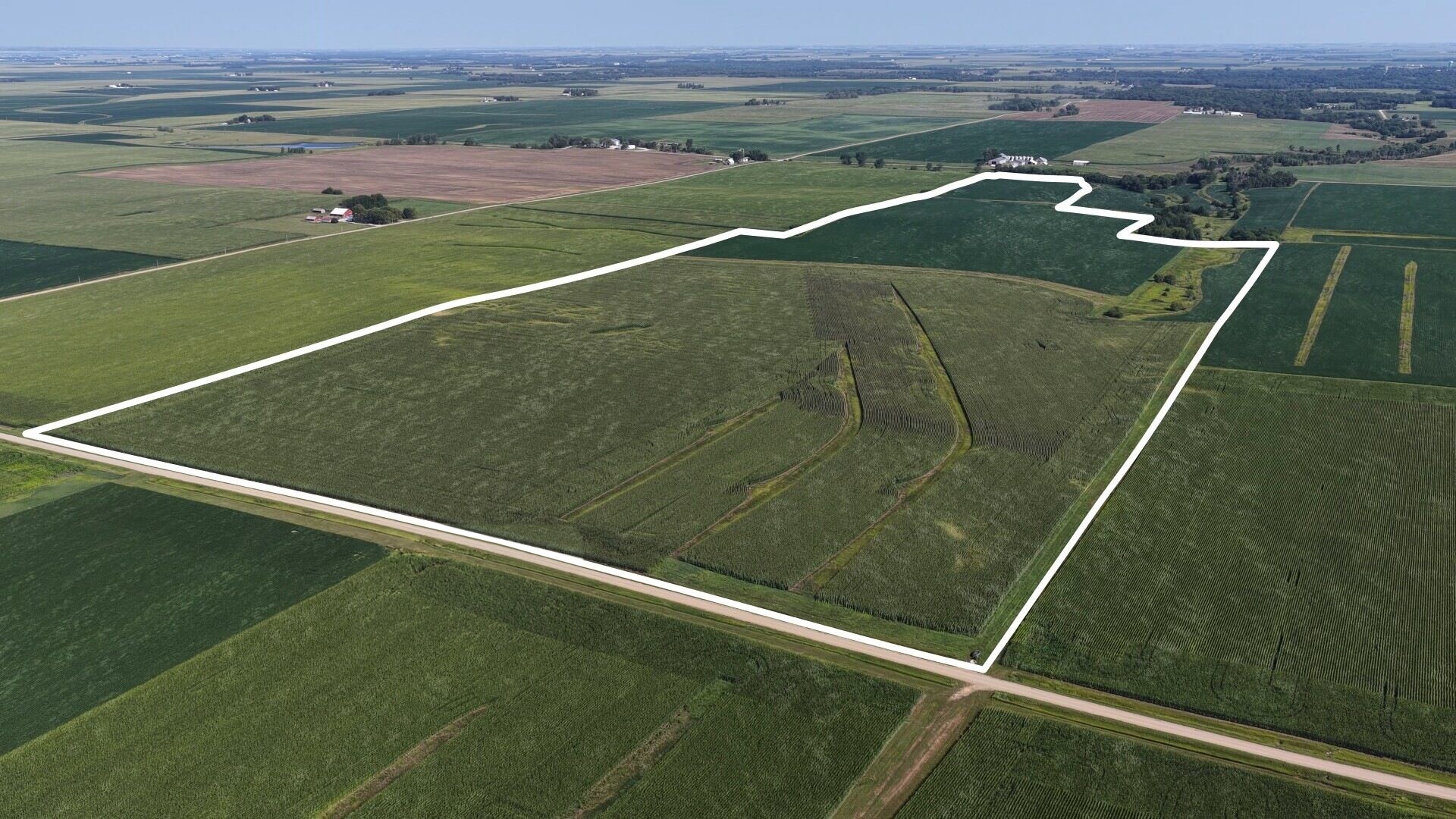
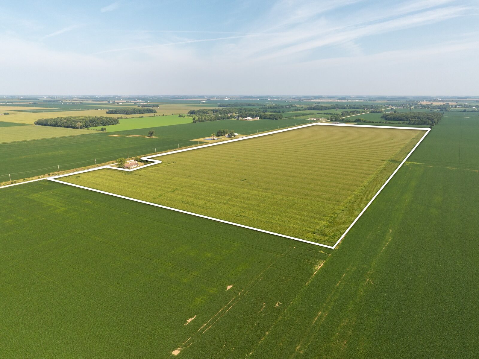
Boundary lines drawn on the footage, with tract callouts and acres.
- 02
Access and roads
Road names, frontage and a location map with drive times to nearby towns.
- 03
Water, timber and terrain
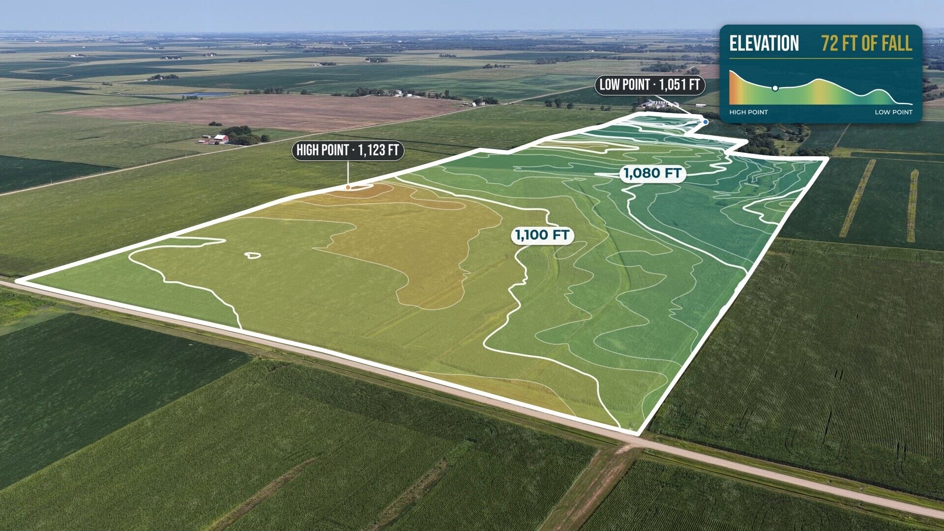
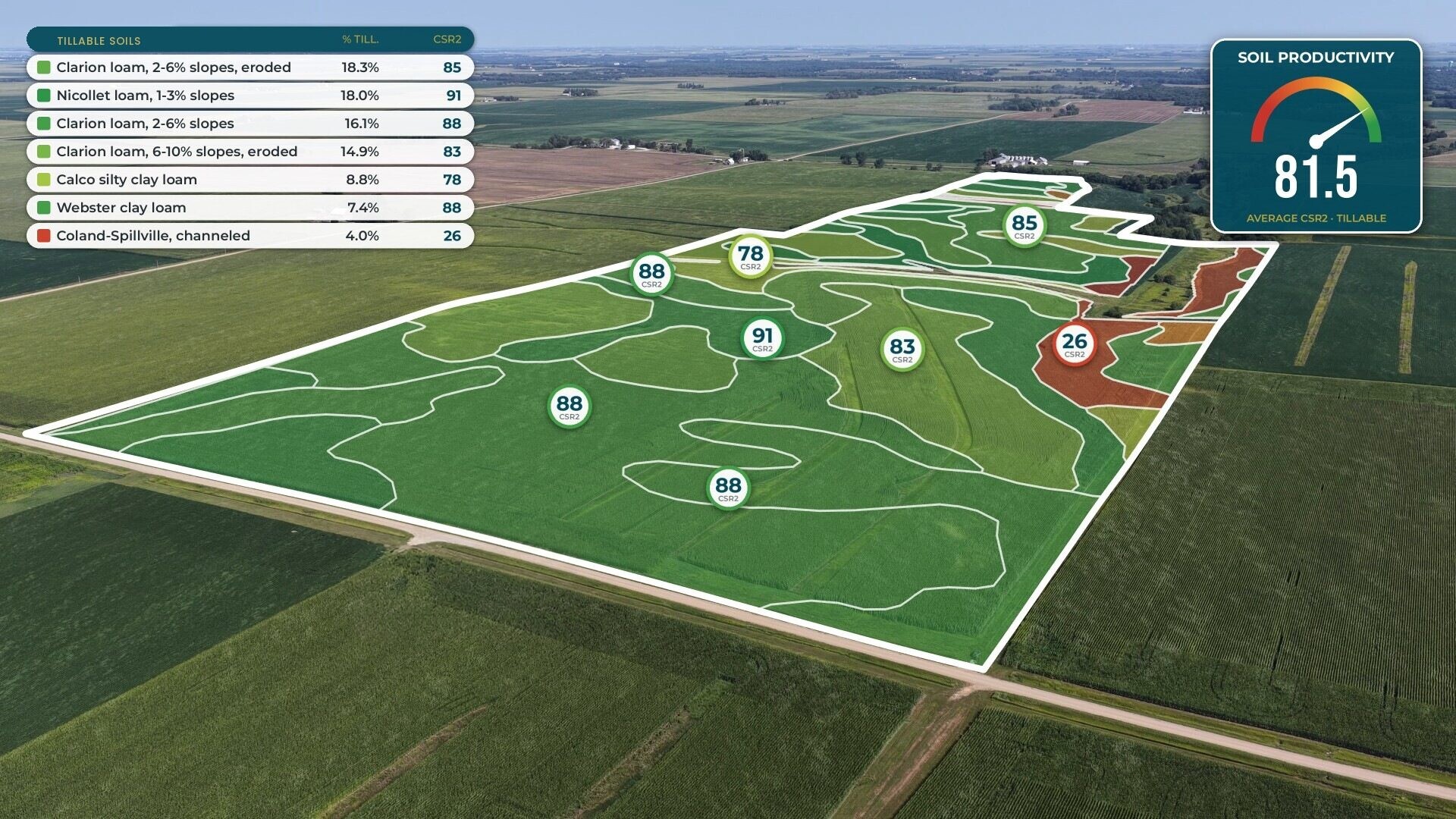
Soil, elevation and drainage tile overlays where they help.
- 04
What sits next door
Wide shots that show neighbors, land use and the surrounding area.
- 05
How it feels to stand there
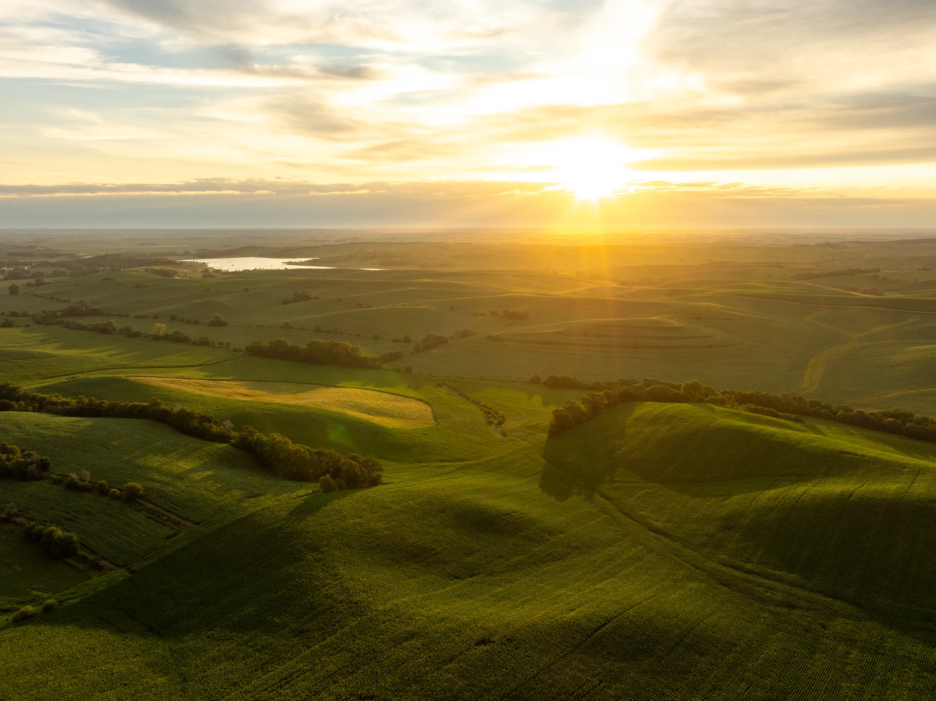
Golden-hour light, ground-level footage and the moments that make the land memorable.
Interactive examples
One shot, every layer.
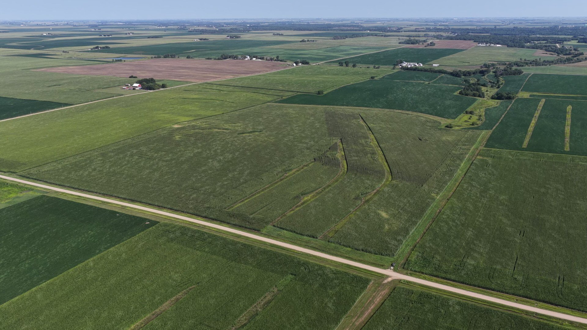
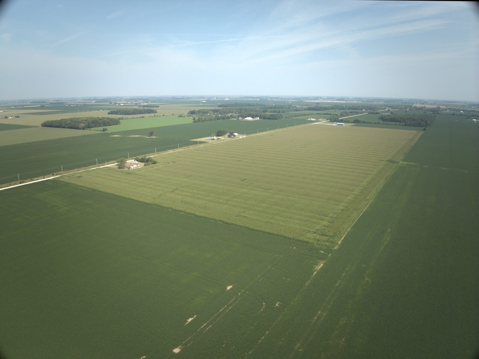
One drone shot, with each graphic layer we can add. Tap through to see what buyers see.
 Boundary & tracts
Media
What we make.
Property video
Aerial and ground footage cut into a story about the land, with optional narration and vertical cuts for social.
Maps & motion graphics
Boundary lines, tract callouts, soil and elevation overlays, and location maps with drive times, built right into the footage.
Virtual tour
An interactive 360° tour buyers can explore at their own pace, with every tract mapped and labeled.
Photos
Edited aerial and ground stills for the listing, the brochure and everywhere the property appears.
Property graphics & brochures
Soil and yield tables, tile maps, auction title cards and brochures, designed in one consistent look and ready to print.
Ready-to-post versions
Sizes for listing sites, email graphics and social cuts, so every piece is ready to go live the day the listing does.
Land sales work
Recent properties.
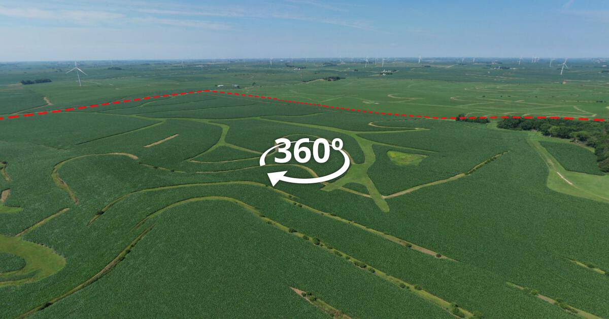 Farmland example
The interactive tour loads only when you choose to explore.
Open tour in a new tab (opens in a new tab)Got a property coming to market?
Share the acreage, location and timeline. We'll suggest an approach and get back to you within one business day.
Start a projectAlready have footage? Get an editing estimate.